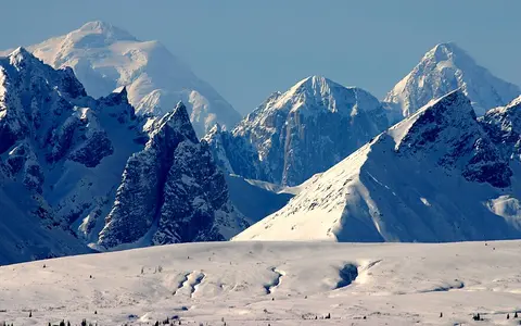
Alaska Range
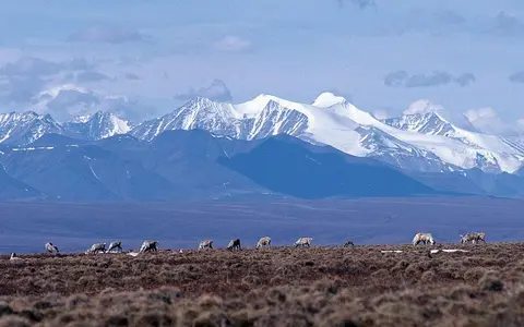
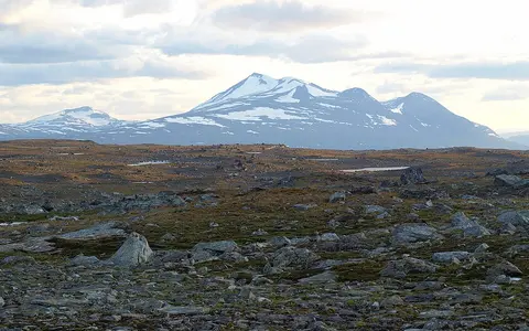
A high-latitude mountain arc shaped by active faults, central massifs, valley glaciers, river headwaters, and a strong climate divide.
The mountain hub collects major ranges, elevated landforms, and cryosphere-linked uplands. It supports records focused on relief, elevation, glaciers, source basins, and the structure of linked highland regions.
These pages give the mountain section a stable spine and enough depth to support future additions like volcanic arcs, plateaus, and alpine basins.
A high-latitude mountain arc shaped by active faults, central massifs, valley glaciers, river headwaters, and a strong climate divide.
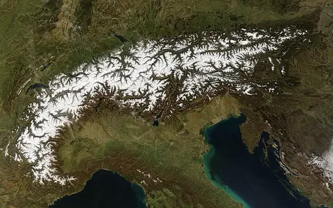
A compact European highland system known for classic alpine landforms, glaciation, and major watershed divides.
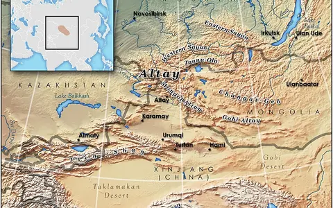
An inner Asian highland system linking glaciated massifs, Ob and Irtysh headwaters, enclosed basins, and strong continental climate gradients.
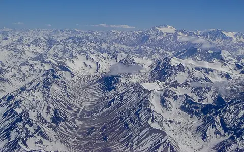
A continental-scale cordillera linking volcanic belts, altiplano basins, Pacific margins, and sharp climatic contrasts.
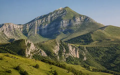
Italy's peninsular mountain chain, linking fold-and-thrust relief, limestone massifs, karst basins, divided drainage, and Mediterranean climate contrasts.
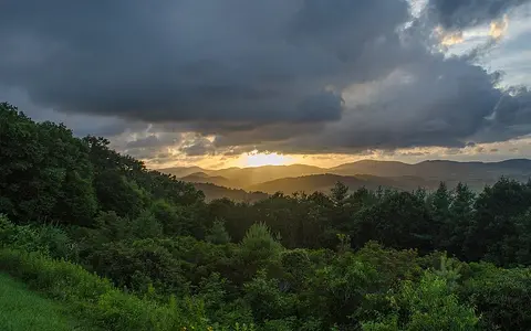
An eastern North American upland system shaped by ancient folds, long ridges, dissected plateaus, and divided drainage.
A North African range where uplift, Mediterranean influence, and desert-margin transitions meet along a complex mountain belt.
A southeastern European mountain chain linking fold-and-thrust relief, Danube and Aegean drainage, cross-range gorges, and strong climate contrasts.
An Arctic mountain system shaped by folded ridges, glacial valleys, permafrost, divided drainage, and a strong climate boundary.
A northern Iberian coastal range linking steep seaward relief, limestone massifs, karst drainage, glacial landforms, and a strong Atlantic rain shadow.
A central and eastern European mountain arc framing the Pannonian Basin, Danube tributaries, high massifs, and forested ridges.
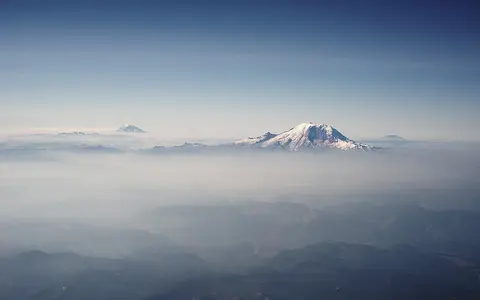
A Pacific-margin mountain belt shaped by subduction volcanism, glaciated relief, snow-fed rivers, and a pronounced eastern rain shadow.
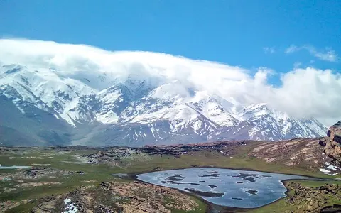
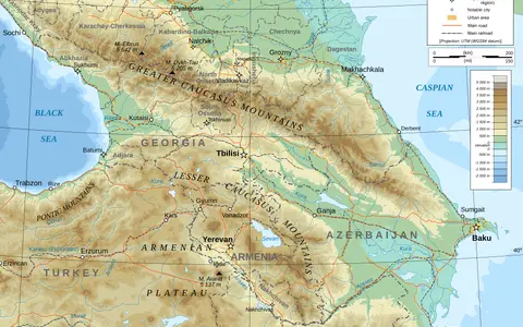
A high-relief mountain barrier between the Black and Caspian seas with glaciers, sharp elevation gradients, and major divides.
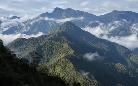
New Guinea's axial highland chain, linking collisional relief, intermontane valleys, island-scale river divides, equatorial rainfall, and glacial landforms.
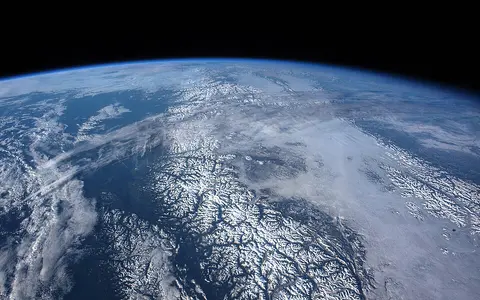
A Pacific coastal system of granitic massifs, icefields, fjords, cross-range rivers, heavy maritime precipitation, and an interior rain shadow.
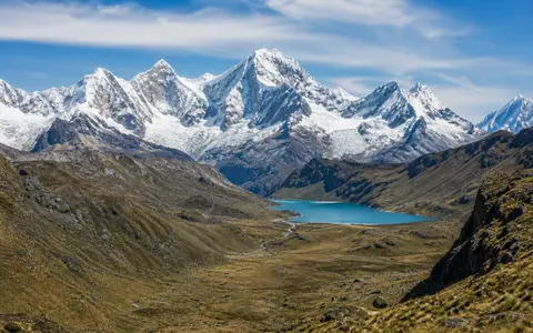
A high Peruvian Andean range linking fault-bounded granite relief, tropical glaciers, glacial lakes, divided headwaters, and strong seasonal rainfall.
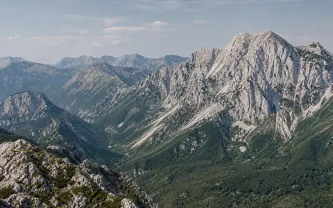
An Adriatic mountain system linking parallel limestone ridges, high karst plateaus, underground drainage, deep valleys, and maritime-continental climate contrasts.
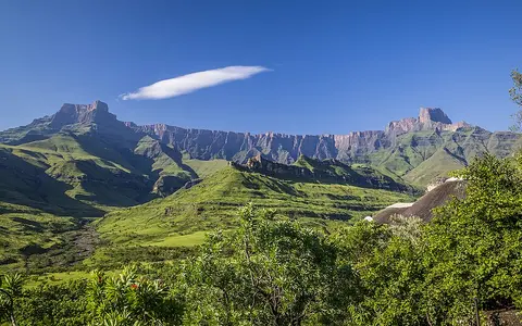
A southern African escarpment and mountain region notable for basalt uplands, cliffed fronts, and plateau-edge relief.
An ancient eastern Indian upland belt linking broken hill ranges, cross-cutting rivers, plateau margins, coastal plains, and changing monsoon controls.
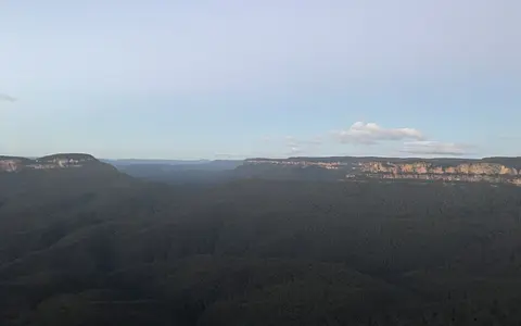
An eastern Australian upland system organizing escarpments, river catchments, and long stretches of elevated terrain.
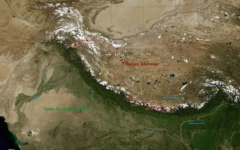
A flagship mountain record tying together altitude, ice, river headwaters, and connected upland systems.
A high mountain system linking deep valleys, active relief, divided drainage, snow and ice, and the western Asian highlands.
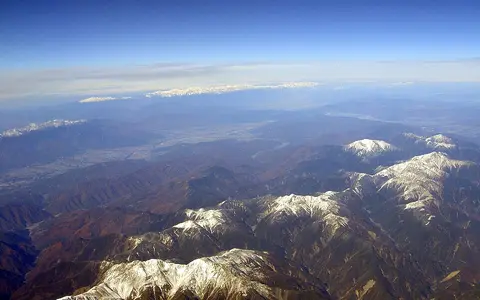
A central Honshu mountain system linking three high ranges, active uplift, deep valleys, river divides, and contrasting maritime snowfall.
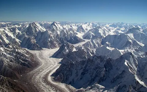
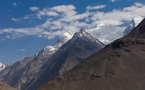
A severe high-mountain region where extreme relief, immense glaciers, and very high peaks dominate the landscape.
A northern Tibetan Plateau mountain system linking high massifs, glaciers, interior-basin headwaters, dry piedmonts, and active relief.
A high inner Asian mountain knot linking sharp western relief, broad eastern basins, glaciers, and divided headwaters.
Greece's northwest-southeast mountain spine, linking limestone and ophiolite massifs, deep gorges, divided headwaters, former glaciation, and an eastern rain shadow.
A northern Anatolian mountain system linking steep Black Sea slopes, complex Pontide geology, cross-range rivers, glacial highlands, and a strong interior rain shadow.
A Franco-Iberian range linking Atlantic and Mediterranean margins, glacial basins, drainage divides, and sharp climate contrasts.
A North American mountain system linking continental divides, intermontane basins, plateaus, and major river headwaters.
An equatorial East African fault-block range linking ancient crystalline massifs, deep valleys, glacial terrain, heavy rainfall, and Nile-basin headwaters.
A southern Siberian mountain system linking Western and Eastern Sayan ranges, intermontane basins, glacial relief, and the upper Yenisei drainage network.
A Nordic highland belt linking Caledonian structure, glacial plateaus, fjords, divided drainage, and strong west-east climate contrasts.
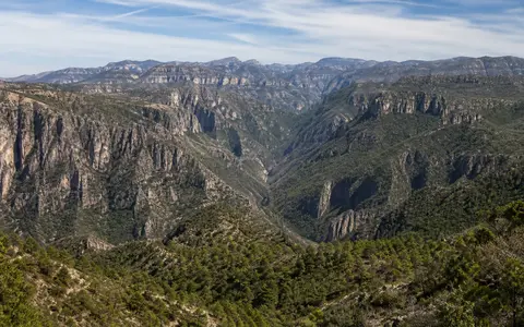
A western Mexican volcanic highland shaped by ignimbrite plateaus, faulted margins, deep barrancas, Pacific drainage, and summer monsoon rainfall.
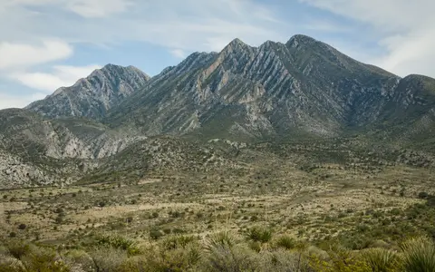
An eastern Mexican fold-and-thrust belt linking limestone ridges, karst drainage, Gulf-facing slopes, plateau margins, and strong climate contrasts.
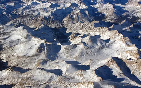
A California range defined by tilted-block relief, granite high country, snowpack-fed rivers, and a Great Basin rain shadow.
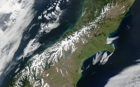
New Zealand's axial mountain range, shaped by Alpine Fault uplift, glacial relief, divided drainage, and a strong west-east rainfall contrast.
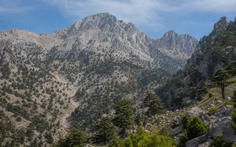
A southern Anatolian mountain system linking limestone massifs, karst drainage, Mediterranean slopes, plateau margins, and divided headwaters.
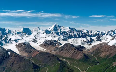
A Central Asian mountain system linking high peaks, glaciers, interior basins, desert margins, and source-region runoff.
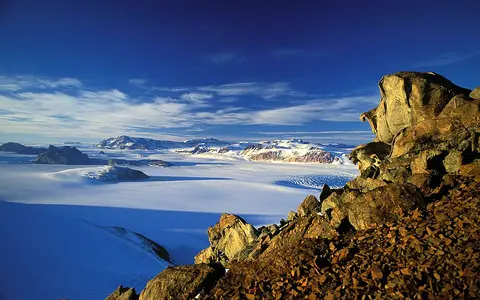
An Antarctic mountain belt linking rift-flank uplift, outlet glaciers, dry valleys, and the divide between East and West Antarctica.
An ancient Eurasian range linking low-to-moderate relief, river divides, continental climates, and the boundary between major plains.
A northeastern Siberian mountain arc linking fold-and-thrust ridges, Lena and Yana drainage divides, permafrost, and a strong record of former glaciation.
A western Indian plateau-edge range linking steep escarpments, monsoon rainfall, divided drainage, high southern massifs, and an interior rain shadow.
A Transbaikal watershed range linking ancient crystalline uplands, fault-guided valleys, continental climate, and the Yenisei, Lena, and Amur drainage systems.
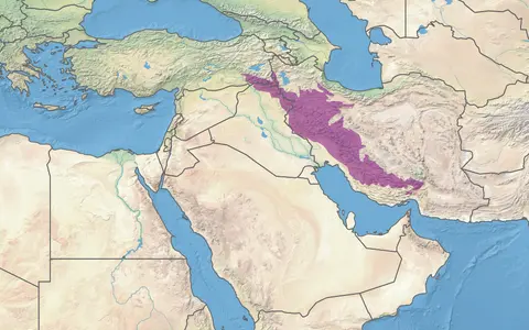
A Western Asian fold belt linking parallel ridges, Iranian Plateau margins, Mesopotamian drainage, and dryland climate transitions.
Images are stored locally or hosted by the credited provider. Creator, source, and usage details for each centre-cropped thumbnail are listed below.
.jpg)


.jpeg)


.jpg)


.jpg)


.jpg)


