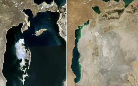
Aral Sea
A Central Asian terminal-basin record covering split remnant waters, Amu Darya and Syr Darya inflow, exposed lakebed, salinity, and arid climate controls.
The lakes hub is for standing waters and inland basins where depth, shoreline shape, outlet systems, salinity, and cold-climate or tectonic setting matter to the record.
Lake records should explain basin geometry, connected waters, shoreline pattern, depth, salinity, and climate context without collapsing into generic travel coverage.
A Central Asian terminal-basin record covering split remnant waters, Amu Darya and Syr Darya inflow, exposed lakebed, salinity, and arid climate controls.
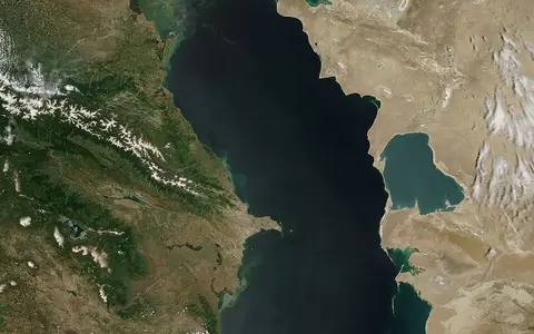
An enclosed inland-sea record covering shelf and deep-basin form, major river inflows, brackish water, evaporation, and Caspian basin climate controls.
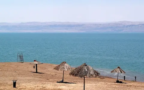
A terminal Levantine lake record covering its below-sea-level rift basin, steep faulted shores, Jordan River inflow, hypersaline brine, desert evaporation, and retreating shoreline.
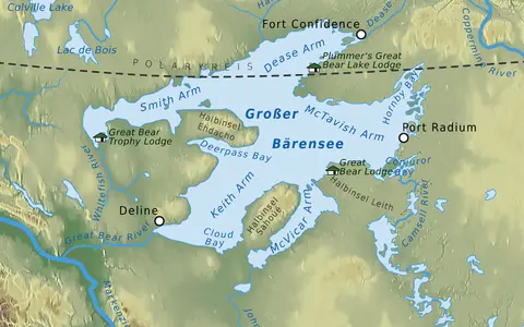
A northern Canadian freshwater record covering glacial basin form, long arms, Shield margins, Great Bear River outflow, ice cover, and Mackenzie drainage links.
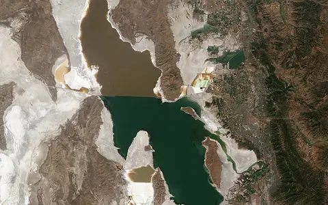
A Great Basin terminal-lake record covering shallow basin form, variable shoreline, river inflows, evaporation, salinity, and causeway-divided lake arms.
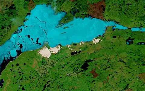
A Northwest Territories freshwater record covering a broad shallow western basin, the deep bedrock-controlled East Arm, Slave River inflow, Mackenzie River outflow, and subarctic ice controls.
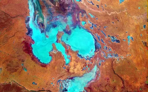
An Australian interior record covering a two-part salt-pan system, below-sea-level basin floor, episodic Channel Country inflows, shifting flood extent, terminal evaporation, and desert climate controls.
An Uganda–DR Congo lake record covering an elongated fault basin, steep escarpments, a shallow sedimented floor, Victoria Nile and Semliki inflows, Albert Nile outflow, and White Nile drainage links.
A northern Alberta–Saskatchewan freshwater record covering a shallow western delta, deeper eastern Shield basin, major river inflows, reversing delta channels, seasonal ice, dunes, and Mackenzie drainage links.
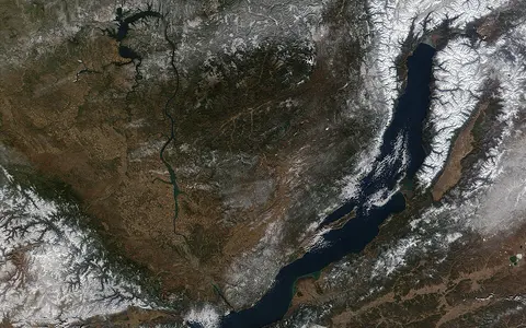
A major inland-water record joining exceptional depth, shoreline form, and cold-region basin context.
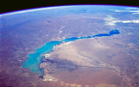
A Kazakhstan basin-lake record covering elongated shallow form, Ili River inflow, divided freshwater and saline waters, evaporation, and Balkhash-Alakol drainage links.
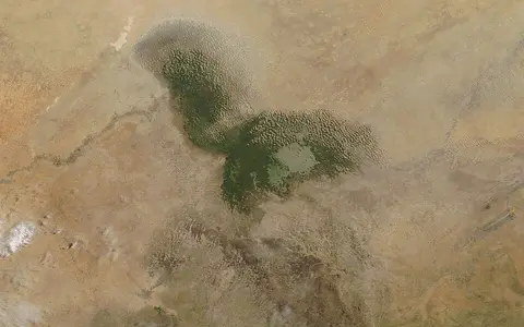
A shallow Sahel lake record covering closed-basin setting, variable open water, reed wetlands, Chari-Logone inflow, evaporation, and climate controls.
A Lombardy lake record covering a branching glacially reshaped basin, steep mountain shores, 425-metre depth, Adda and Mera inflows, the Lecco outlet, and Alpine climate controls.
A northern Alpine foreland lake record covering the deep Obersee, shallower Untersee, Seerhein connection, Alpine Rhine inflow, High Rhine outflow, glacial basin form, and snowmelt-driven water levels.
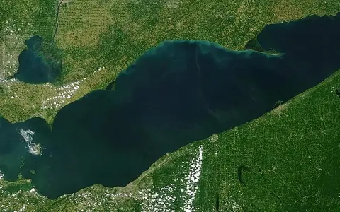
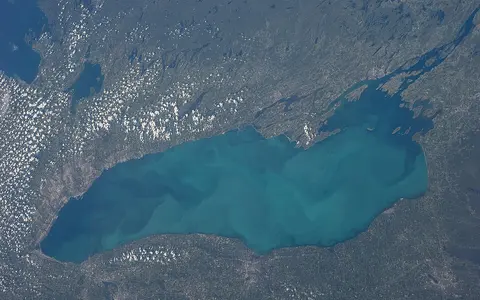
A lower Great Lakes record covering shallow basin form, western islands, tributary inflow, Niagara River outflow, and lake-effect climate controls.
A northern Italian lake record covering a deep glacial trough, broad southern foreland basin, Sarca inflow, Mincio outflow, contrasting shoreline relief, slow water exchange, and channelled local winds.
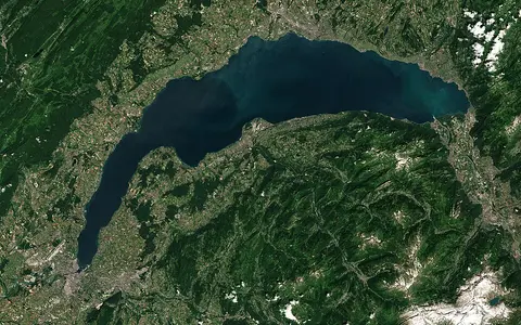
A deep Rhône-basin lake record covering an ice-shaped Alpine foreland basin, Grand Lac and Petit Lac, Rhône inflow and outflow, shoreline relief, and regional wind controls.
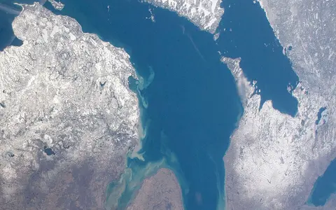
A central Great Lakes record covering glacial basin form, Georgian Bay, island structure, St. Marys inflow, St. Clair outflow, and lake-effect climate controls.
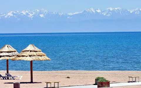
A high Kyrgyz lake record covering a deep tectonic basin, Tian Shan mountain margins, snow-fed inflows, closed drainage, mild salinity, and continental climate controls.
A Rwanda–DR Congo lake record covering a segmented rift basin, volcanic shores, permanent deep-water layering, highland inflows, Ruzizi outflow, and Congo drainage links.
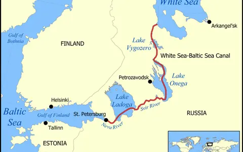
A northwest Russian freshwater record covering glacial basin form, northern skerry shores, Svir, Volkhov, and Vuoksi inflows, Neva outflow, and Baltic drainage links.
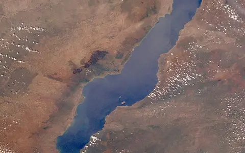
A southern East African Rift lake record covering long basin form, steep margins, Ruhuhu inflow, Shire outflow, and Zambezi drainage links.
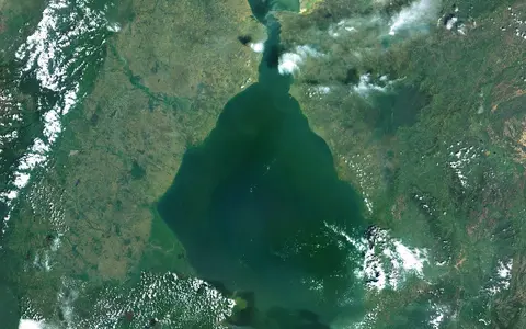
A northwestern Venezuelan record covering a shallow tectonic-basin water body, mountain-fed rivers, brackish circulation, the Strait of Maracaibo, and Caribbean climate connections.
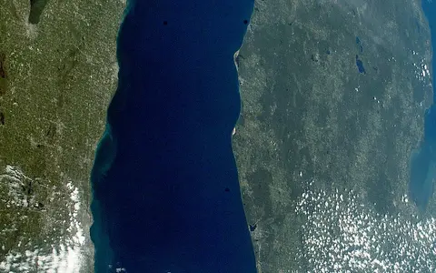
A central Great Lakes record covering deep glacial basins, dune and bluff shores, tributary inflows, Straits of Mackinac exchange, and lake-effect climate controls.
A Zambia–DR Congo lake record covering a shallow fault-influenced basin, Luapula floodplain inflow, deeper northeastern hollows, Luvua outflow, seasonal rainfall, and upper Congo drainage links.
A southern Egypt and northern Sudan reservoir record covering the former Nile channel, drowned desert wadis, branching khors, level-dependent shores, sediment storage, regulated outflow, and arid climate controls.
A tropical Central American lake record covering tectonic basin form, shallow open water, volcanic islands, seasonal inflows, San Juan River outflow, and Caribbean drainage links.
A south-central Florida freshwater record covering a broad shallow basin, marsh-fringed shores, Kissimmee River inflow, wet-and-dry season water levels, managed outlets, and Greater Everglades connections.
A northwestern Russian freshwater record covering glacial basin form, branching northern bays, island-rich shores, major river inflows, Svir outflow, seasonal ice, and Baltic drainage links.
A lower Great Lakes outlet record covering deep glacial basin form, Niagara River inflow, St. Lawrence outflow, shoreline barriers, and lake-effect climate controls.
An Estonia–Russia border lake record covering three shallow glacial basins, sandy and wetland shores, Velikaya and Emajõgi inflows, Narva outflow, wind mixing, seasonal ice, and Baltic drainage links.
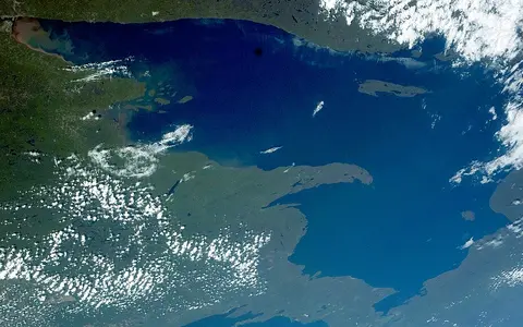
A northern Great Lakes record covering glacial basin form, rocky shores, short tributaries, St. Marys River outflow, and cold-lake climate controls.
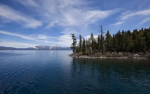
A high mountain lake record covering fault-bounded basin form, great depth, glacially altered shores, snow-fed tributaries, Truckee River outflow, and Sierra rain-shadow controls.
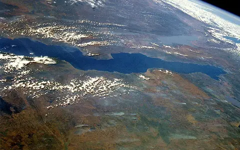
A Western Rift lake record covering long narrow basin form, steep margins, deep water, inflows, Lukuga outflow, and Congo drainage links.
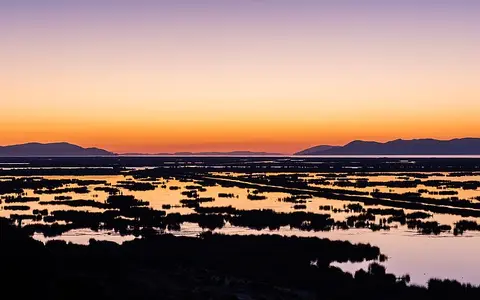
A high Andean plateau lake record covering Altiplano basin form, split lake basins, Andean inflows, Desaguadero outflow, and cool highland climate controls.
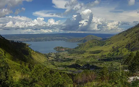
A northern Sumatran lake record covering a vast volcanic caldera, steep rim relief, uplifted Samosir block, deep freshwater, Asahan River outflow, and tropical highland climate.
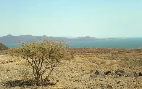
An East African Rift record covering a long closed basin, volcanic shores and islands, Omo River inflow, evaporation, salinity, and arid climate controls.
A northwestern Iranian record covering a shallow tectonic basin, mountain-fed rivers, terminal drainage, hypersaline water, broad salt flats, a causeway crossing, and semi-arid climate controls.
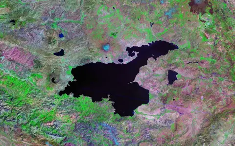
A high Eastern Anatolian lake record covering tectonic basin form, volcanic closure, deep western water, shallow eastern shelf, mountain inflows, soda-rich water, and continental climate.
A broad East African plateau lake record covering shallow basin form, indented shorelines, inflows, Nile outflow, and equatorial climate controls.
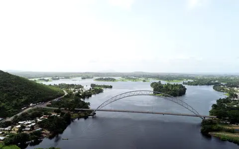
A Ghanaian reservoir record covering drowned river valleys, branching shoreline form, Black Volta, White Volta, and Oti inflows, Akosombo Dam outflow, and tropical rainfall controls.
An interior East Antarctic record covering a long bedrock basin, nearly four kilometres of overlying ice, deep freshwater, hidden shorelines, basal melting and freezing, and subglacial drainage connections.
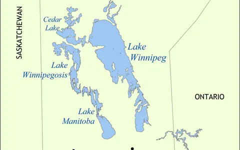
A central Manitoba freshwater record covering a shallow postglacial basin, north and south basins, the Narrows, major continental inflows, Nelson River outflow, seasonal ice, and Hudson Bay drainage links.
A northern Jiangxi floodplain record covering a broad shallow basin, five-river inflow, seasonal open-water change, the Hukou outlet, and two-way hydraulic influence with the Yangtze.
A high Qinghai basin record covering a fault-shaped depression, broad shallow water, Buha River inflow, terminal drainage, saline chemistry, shifting shores, seasonal ice, and plateau climate controls.
A central Cambodian lake record covering a shallow sedimentary basin, wide seasonal floodplain, local tributary inflow, reversal of the Tonle Sap River, and hydraulic exchange with the Mekong.
Images are stored locally or hosted by the credited provider. Creator, source, and usage details for each centre-cropped thumbnail are listed below.
.jpg?width=960)












.png)

.jpg)


.jpg)


.jpg)


